目次
+ サンプル
- 全球マップ向き
+ 正距円筒図法(PlateCarree)
+ モルワイデ図法(Mollweide)
+ ロビンソン図法(Robinson)
- 極周りの表示向き
+ ステレオ投影(Stereographic)
+ 正距方位図法(AzimuthalEquidistant)
- 領域マップ向き
+ ランベルト正角円錐図法(LambertConformal)
- 立体的な表示
+ 外射図法(NearsidePerspective)
+ 調整
+ 経緯線・経緯度のラベル
+ PlateCarreeにおけるimshowで上下が切れる
ドキュメント
投影法一覧 公式ドキュメント:
Cartopy projection list — cartopy 0.23.0 documentation
引数のglobeはcartopyのclassで,地球楕円体を定義する.
cartopy.crs.Globe 公式ドキュメント:
class cartopy.crs.Globe
class cartopy.crs.Globe(datum=None, ellipse='WGS84', semimajor_axis=None, semiminor_axis=None, flattening=None, inverse_flattening=None, towgs84=None)
準備
サンプル
気象や水文で比較的よく使うもの
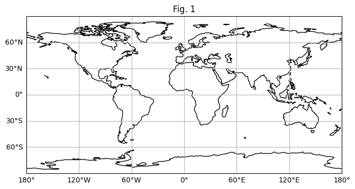
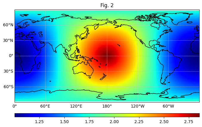
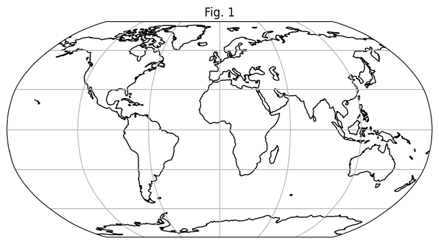
正距円筒図法(PlateCarree)
class cartopy.crs.PlateCarree(central_longitude=0.0, globe=None)
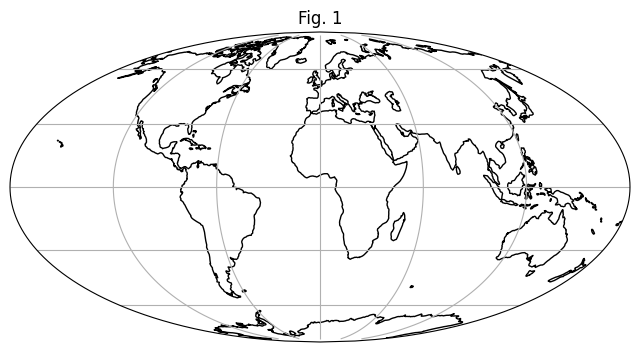
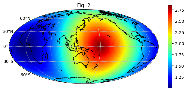
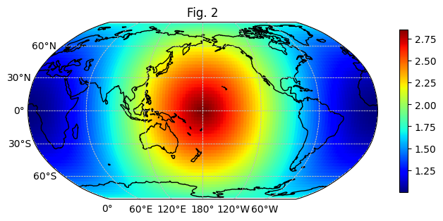
 モルワイデ図法(Mollweide)
class cartopy.crs.Mollweide(central_longitude=0, globe=None, false_easting=None, false_northing=None)
モルワイデ図法(Mollweide)
class cartopy.crs.Mollweide(central_longitude=0, globe=None, false_easting=None, false_northing=None)
 ロビンソン図法(Robinson)
class cartopy.crs.Robinson(central_longitude=0, globe=None)
ロビンソン図法(Robinson)
class cartopy.crs.Robinson(central_longitude=0, globe=None)
 ステレオ投影(Stereographic)
class cartopy.crs.Stereographic(central_latitude=0.0, central_longitude=0.0, false_easting=0.0, false_northing=0.0, true_scale_latitude=None, scale_factor=None, globe=None)
正距方位図法(AzimuthalEquidistant)
class cartopy.crs.AzimuthalEquidistant(central_longitude=0.0, central_latitude=0.0, false_easting=0.0, false_northing=0.0, globe=None)
ランベルト正角円錐図法(LambertConformal)
class cartopy.crs.LambertConformal(central_longitude=-96.0, central_latitude=39.0, false_easting=0.0, false_northing=0.0, standard_parallels=(33, 45), globe=None, cutoff=-30)
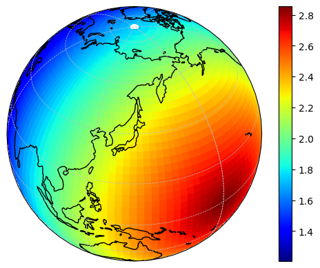
外射図法(NearsidePerspective)
class cartopy.crs.NearsidePerspective(central_longitude=0.0, central_latitude=0.0, satellite_height=35785831, false_easting=0, false_northing=0, globe=None)
ステレオ投影(Stereographic)
class cartopy.crs.Stereographic(central_latitude=0.0, central_longitude=0.0, false_easting=0.0, false_northing=0.0, true_scale_latitude=None, scale_factor=None, globe=None)
正距方位図法(AzimuthalEquidistant)
class cartopy.crs.AzimuthalEquidistant(central_longitude=0.0, central_latitude=0.0, false_easting=0.0, false_northing=0.0, globe=None)
ランベルト正角円錐図法(LambertConformal)
class cartopy.crs.LambertConformal(central_longitude=-96.0, central_latitude=39.0, false_easting=0.0, false_northing=0.0, standard_parallels=(33, 45), globe=None, cutoff=-30)
外射図法(NearsidePerspective)
class cartopy.crs.NearsidePerspective(central_longitude=0.0, central_latitude=0.0, satellite_height=35785831, false_easting=0, false_northing=0, globe=None)
モルワイデ図法(Mollweide)
class cartopy.crs.Mollweide(central_longitude=0, globe=None, false_easting=None, false_northing=None)
ロビンソン図法(Robinson)
class cartopy.crs.Robinson(central_longitude=0, globe=None)
ステレオ投影(Stereographic)
class cartopy.crs.Stereographic(central_latitude=0.0, central_longitude=0.0, false_easting=0.0, false_northing=0.0, true_scale_latitude=None, scale_factor=None, globe=None)
正距方位図法(AzimuthalEquidistant)
class cartopy.crs.AzimuthalEquidistant(central_longitude=0.0, central_latitude=0.0, false_easting=0.0, false_northing=0.0, globe=None)
ランベルト正角円錐図法(LambertConformal)
class cartopy.crs.LambertConformal(central_longitude=-96.0, central_latitude=39.0, false_easting=0.0, false_northing=0.0, standard_parallels=(33, 45), globe=None, cutoff=-30)
外射図法(NearsidePerspective)
class cartopy.crs.NearsidePerspective(central_longitude=0.0, central_latitude=0.0, satellite_height=35785831, false_easting=0, false_northing=0, globe=None)
調整