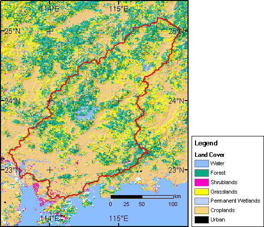
Land cover of the Dongjiand watershed from 1-km resolution global land cover characteristics data base, IGBP classification
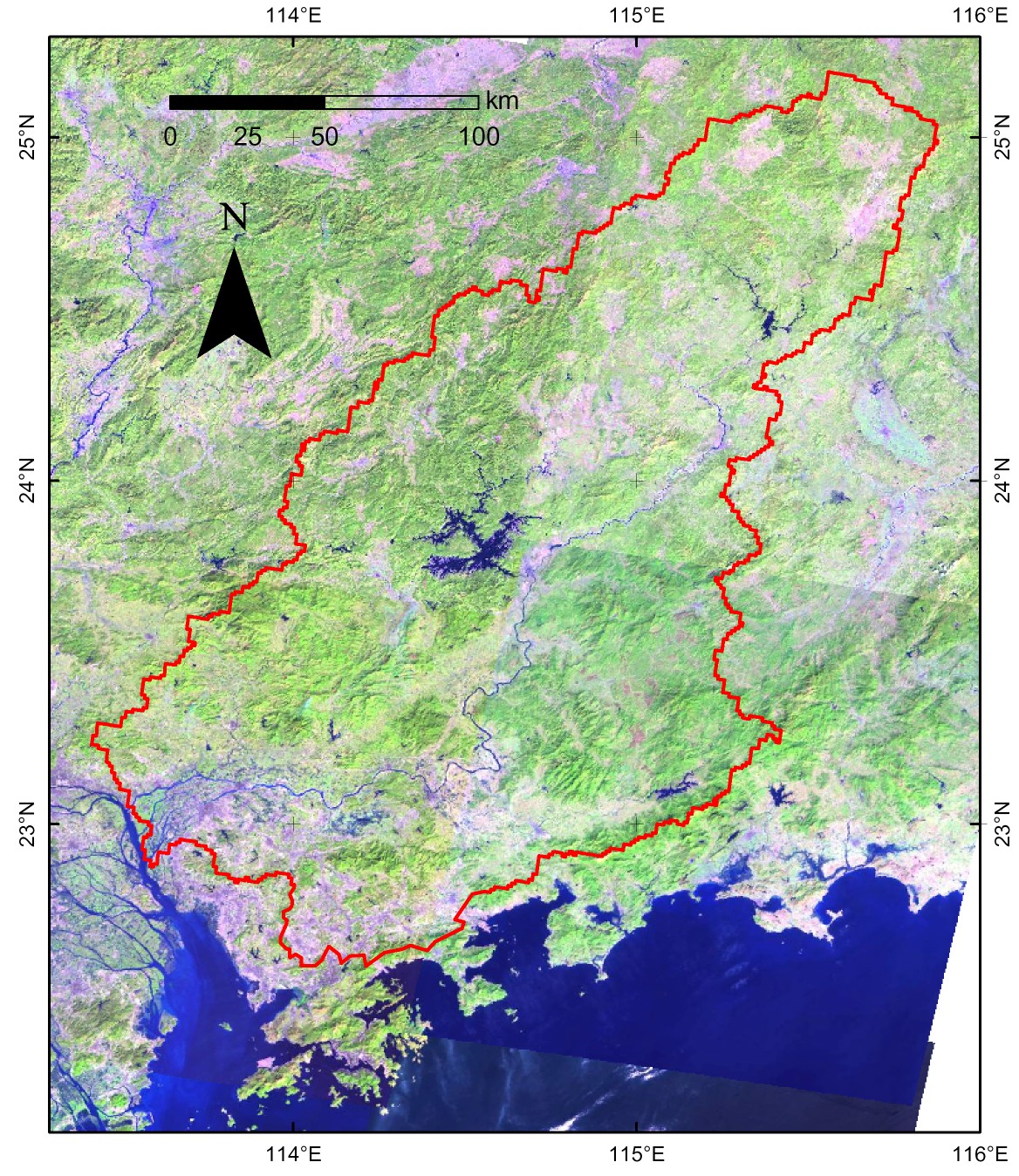
Landsat 7 ETM
composite image of the East River basin for comparison
(Visible bands 1, 2 and 3, click the image for a higher resolution
copy)