Åiblue area:setting pointÅj
|
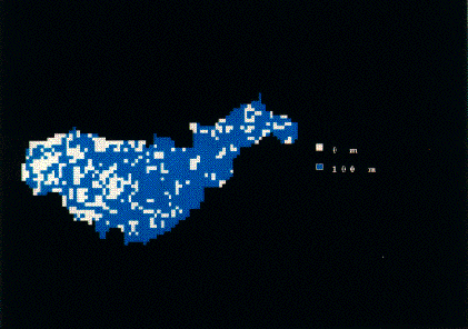
Fig.1:Application Catchment(1 by 100mÅj Åiblue area:setting pointÅj |
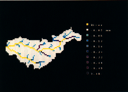 |
Fig.2:Surface runoff map (Before setting facilities.)
(blue:high level water,yellow:riverÅj |
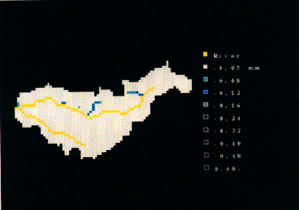 |
Fig.3:Surface runoff map (After setting facilities)
Åiblue:high level water,yellow:riverÅj |
| SHINYA Tanimoto 1995 ÅFHydrological Modelling for Basin Management & Planning using GIS, Master thesis |
|
The purpose of the study is to develop a new type of distributed hydrologic model
which has the capabilities of: 1) distributed representation of spatial variations 2) physical descriptions of hydrologic processes 3) applicability to very large catchments The main objectives include: development of model concept through the analysis of catchment geomorphological properties, model descripition, model validation, analysis of model sensitivity and applications. |
 |
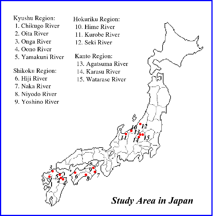 |
Applications to medium size catchments were tested in three Japanese catchments
which are located in humid temperate zone, namely Watarase river in Kanto region,
Seki river in Hokuriku region and Naka river in Shikoku region. The catchment areas range 700-1200 km2, and the meteorological gauges are densely located in these catchments. |
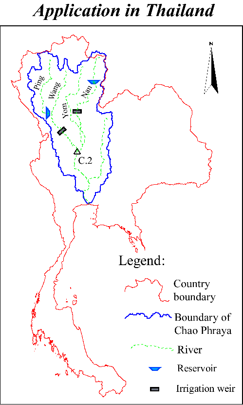 |
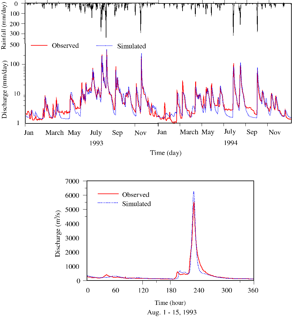
Application to large catchment was tested in Chao Phraya river basin in Thailand
which is located in tropic monsoon region. The simulation area is about 110000km2
(up to Nakhon Sawan). The river discharge was compared with the simulation by grid-based distributed hydrologic model(GB model) gives better simulation results of river discharge. |
 |
ÅiSimulation result in Naka river in JapanÅj From the above applications, it is shown that the model can apply to different catchments of various sizes and climatic characteristics for both long term and flood simulations. |
| Yang, D. 1998 ÅFDistributed Hydrologic Model using hillslope discretizetion based on catchment area function: Development and Applications, PhD Thesis |
 |
As the development of the erosion model is at the initial stage, so the results for the erosion part are not yet available for presentation. Although by now,
the setting up process of the hydrological model has been completed and the results are presented on left. normal size with click |
| HABIB Mughal, 2000 : Process based soil erosion modelling at catchment scale, Ph.D. Thesis |