|
・ DEM data (HYDRO1k) The DEM data is available at USGS (http://edc.usgs.gov/products/elevation/gtopo30/hydro/index.html). Please download the data with the Lambert Azimuthal Equal Area projection. Please refer to HYDRO1k Documentation for further information. ・ SiB2 Land Use data (GLOBAL LAND COVER CHARACTERIZATION) The Land Use data is available at USGS (http://edcsns17.cr.usgs.gov/glcc/). Please download the data with the Lambert Azimuthal Equal Area projection. Please refer to GLOBAL LAND COVER CHARACTERIZATION Document for further information. ・ Pathfinder AVHRR Land data (daily NDVI and CLAVR) The dataset is not directly used in the DBH model system. The daily NDVI and CLAVR data are compared to ground observations and to used to check the credibility of extraction of hydrology related information from remote sensing data. Please refer to references dd(Tang and Oki, 2006) for further information. This dataset is not required for model running. The data is available at NASA GES DISC DAAC (http://disc.gsfc.nasa.gov/interdisc/readmes/pal_ftp.shtml). ・ Pathfinder AVHRR FPAR and LAI data The FPAR and LAI data is available at Boston University (http://cybele.bu.edu/modismisr/index.html). You can access the data through anonymous ftp: ftp://primavera.bu.edu/pub/datasets/. Please refer the README file in the products for further information. ・ ISCCP-FD I*2 RadFlux data The International Satellite Cloud Climatology Project (ISCCP) data sets are incorporated in DBH model and provide an optional radiative fluxes source (SRF: Surface Radiative Fluxes) when the ground observations are unavailable. It is required only when the ground observation is not available. The data the available at http://isccp.giss.nasa.gov/projects/flux.html. You can access the data through anonymous ftp: ftp://isccp.giss.nasa.gov/outgoing/FLUX/. ・ Global Surface Summary Of Day Data About 8000 weather stations' data are typically included in the dataset. It is available at http://www.ncdc.noaa.gov/cgi-bin/res40.pl?page=gsod.html. Please refer the data description in the products for further information. ・ FAO-UNESCO Soil Map of the World The map is provided in ArcInfo export (*.e00) files. It is available at http://www.lib.berkeley.edu/EART/fao.html ・ Global Map of Irrigated Areas The Global Map of Irrigated Areas is available at http://www.fao.org/ag/agl/AGLW/aquastat/irrigationmap/index.stm. ・ Vector descriptions of rivers The vector description of rivers is available at the CIA World DataBank II (http://www.evl.uic.edu/pape/data/WDB/). It will be used to revise river route from HYDRO1k data. It is NOT required. But it is highly recommended. ・ Global Soil Moisture Data Bank The global soil moisture data is available at http://climate.envsci.rutgers.edu/soil_moisture/. The Chinese Soil Moisture Data is also available at the same website. It may be used to validate the model. It is NOT required.
Please note the data might be copyrighted. The URL is provided for your information. Reproduction limited to Fair Use Copyright Law restrictions. |
|
Various methods are used to get the hydrology-related information and digitize the information into distributed biosphere-hydrological model. Three sources of data, remote sensing data, ground station gauge, and statistical survey data are used in the DBH model system. The data sources that can be used in the DBH model system are listed. |
Data Sources |
|
Developed by Qiuhong Tang |


|
Distributed Biosphere-Hydrological Model System |
|
The University of Tokyo |
|
E-mail: qiuhong (at) hydro.washington.edu |
|
To contact the model maker: |
|
DBH Model Processing of Input Files |
|
Q. Tang, T. Oki, and S. Kanae |
|
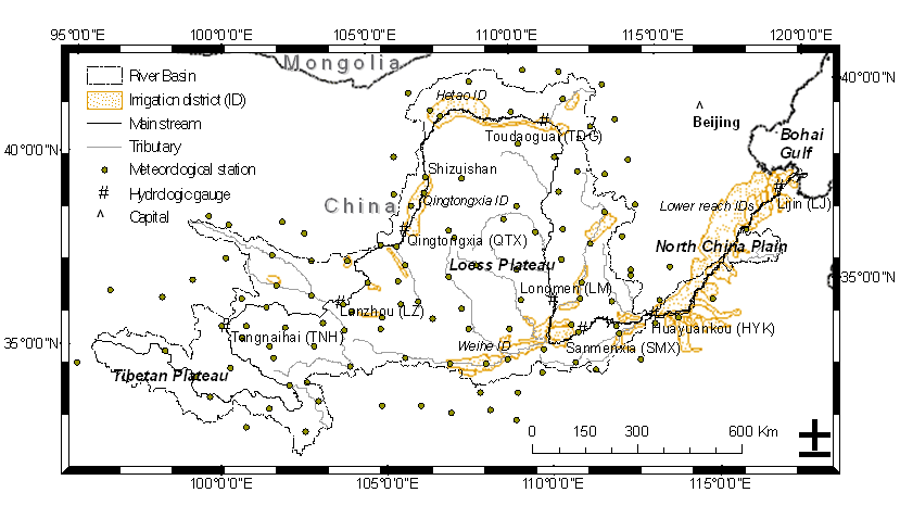
The data from variant data sources should be projected to same projection and convert to the data format used in the DBH model system. The data preprocessing is demonstrated with an example in the Yellow River Basin, China. The procedures for using ArcInfo are introduced. It is not an endorsement of the ArcInfo software. |
Data Preprocessing |
|
・ Revise HYDRO1K DEM data with vector river map (recommended) This is a high recommended preprocess, but it is not required. With this preprocess, the river routing will fit the realistic river way. Assume the vector maps are available in ArcInfo format: irrizone, hhgq : coverage of irrigation zone. riverbasin: coverage of river basin irribasin: coverage of river basin with irrigation area (which might be outside of the river basin) hhgl2.shp, onejzl1.shp : coverage of river way (main stem and tributaries) Follow the manual (ReviseDEM.txt) to revise the DEM data. The Fortran Program might be useful: Getgridarea.f, Getfraction.f ・ Deal with revised DEM data To get Pfafstetter code (3rd level) with revised DEM data. Follow the manual (DealDEM.txt) to revise the DEM data. The Fortran Program might be useful: Priver.f. Please refer to DBH Addition for detail document. ・ Land use, Irrigation and Soil data Follow the manual (VegIrr.txt) to get the Land use, Irrigation and Soil data (parameters) from global datasets. The Fortran Program might be useful: Soil_texture.f. Please refer to DBH Addition for detail document. ・ Atmospheric forcing data The atmospheric forcing data are put at directory ./ATM_INPUT_DATA/gauge_15item/ (default setting of DBH model system). The data format is described in afd_format.txt. If the Global Surface Summary Of Day Data is used. Preprocessing should be done following manual (wmo.txt). The Fortran Program and BAT file (for windows) might be useful: data-selection.for, Generate_name.f, run1.bat, run2.bat, select-stn.for, stn_arc.for and interpolation.f. ・ Soil moisture data It is option. It is needed when the soil moisture is used to validate the model. ・ Put preprocessing data and parameters to DBH model system To put preprocessing data and parameters to DBH model system. Follow the manual (p2dhm.txt) to run the model system. ・ Input data check (recommended) [It is highly recommended to check the input data.] Typical input data check methods are described in InputCheck.txt. |